View from High Rock on Quirauk Mountain

View from High Rock on Quirauk Mountain

Pages

Sunday, March 25, 2018

Hiking into the Keystone State - Part 2: PA State Route 16 to Old Forge Picnic Area, Michaux State Forest


The second part of this hike was twice as long and I'd say twice as nice. This hike took me into the southern end of Pennsylvania's Michaux State Forest, up to a park/picnic area called Old Forge.

After parking at the PA SR 16 lot and crossing the highway, you re-enter the woods and cross the southern boundary of Michaux State Forest.  The forest covers over 85,000 acres in Cumberland, Adams, and Franklin Counties. (Follow the link to learn more!)

Going north!

Into the forest...


The trail runs fairly straight, ascending slightly before reaching Mentzer Gap Road. The trail crosses the road and bears to the left before turning back into the wooded area.


A little more climbing, and another road crossing: this time Rattlesnake Run Road, and finally you're into the main portion of the hike. The trail bears generally west until you crest the hill and come down the other side, and then turns north and descends slightly through a tunnel of green. This eventually leads you to a small clearing, and a sign for a spring. The spring was flowing fairly well, but was full of leaves. 

Spring source, leaves floating on the water

The spring is 30 yards beyond the sign


From the spring, the trail turns again, continuing into the forest. The trail here is generally flat, with a few gradual ups and downs.

After about 2 miles, you come across the Deer Lick (Run) Shelters. There are two Adirondack-style shelters here, the openings face away from each other. There are also two tent pads behind the shelters. I didn't see any other tent pads. There is a spring up the hill in front of the shelters, which I believe forms Deer Lick Run, which you cross as you continue north on the trail.

Shelters from the trail

Shelters from the "Spring" sign

Shelter closeup

Deer Lick Run


Here the trail will gently climb, and you'll come across first a gas line cut, and then what is probably a fire road. Not long after this, the trail begins to descend into the valley toward Old Forge.  It gets kind of steep at times, so step carefully. The trail eventually flattens out before another more gradual descent just before you reach Old Forge. You'll hear the sound of running water before you see the creek and footbridges.  You'll cross two footbridges over two branches of Antietam Creek, which runs out of the Waynesboro Dam.

Crossing the gas line cut

Crossing the gravel road

Coming down from the ridge

Bridge over Antietam Creek
Continuing further along the trail, you'll cross another (probably gas line) cut in the trees, and then another footbridge, taking you toward the main part of the Old Forge picnic area. There's a small building which has a spigot/water tap. The sign said fresh water year round...but I didn't try it.

The Old Forge Picnic area has about 10-12 parking spaces, a couple of picnic shelters, and some vaguely historic-looking buildings. I'm sure there's more to the park, but I didn't do much exploring.

Water tap here

Coming into the main area of the park

Old church


Parking
A few more pics of Antietam Creek for your enjoyment...


As stated before, I did this hike and the previous one as out-and-backs. If you have a hiking partner, you could easily do both (Pen Mar to Old Forge) as a one-way, approximately 6.8-mile shuttle hike, leaving a car at Old Forge, and then driving to Pen Mar to begin the hike.

For my next hike, I'll probably start at Old Forge and keep exploring into Pennsylvania. Definitely need to knock out a section or two of Maryland as well.

Happy hiking!

Wednesday, March 21, 2018

Hiking into the Keystone State - Part 1: Pen Mar to PA State Route 16

Hello, fellow hikers, outdoors enthusiasts, and adventure seekers! Just sharing some notes from my recent excursions.

Even though I still have plenty of miles left to hike in Maryland, I thought I'd take a peek into Pennsylvania, our neighbor to the north. Pen Mar Park in Maryland, right next to the border, was the clear jump-off point for this next adventure. As I've noted previously, the Appalachian Trail passes through the park before crossing the Mason-Dixon line and continuing into Pennsylvania.

I did this section of the AT over two separate weekends with two out-and-back hikes. The first time I hiked from Pen Mar to Pennsylvania State Route 16 before turning around. The second weekend I parked at the Route 16 trailhead, and hiked to Old Forge.

First hike: Pen Mar to PA SR 16:
Topographic Map, the AT is the thin white line through the middle.

The start of the hike out of Pen Mar is easy and takes you across a set of railroad tracks before crossing the Mason-Dixon Line. After a short distance, you'll come to a road crossing (PA 550) which can be dangerous due to the hairpin turn drivers have to navigate, so be careful and cross quickly. The trail then passes behind several houses before finally descending, gradually at first, into a valley.


This seems easy enough...


Down into the valley...
Rock wall near the bottom


At the bottom, a footbridge carries you over Falls Creek. Then the trail turns left and sharply up the hill before curving back around to the right and ascending further up the slope.

Footbridge over Falls Creek

Falls Creek
It was nice and quiet in the valley except for Falls Creek, flowing nicely. I could have sat and listened to the sounds of the stream for a while.


On the other side of the bridge, the trail makes an immediate 90 degree left turn, curving up the hill to the stone steps on the left side, before coming back around to the right again. The dead leaves made this somewhat slippery on the return trip. Be careful out there!

Up the other side!


Buena Vista Road ahead


The trail continues up the side of the hill, winding around the hill until it runs parallel to a stream bed below, eventually reaching Buena Vista Road. As you reach the road, the trail picks up again on the north side about 40 yards to the left. 

Sign at Buena Vista Rd. Trail picks up on the opposite side of the road, behind the photographer.

After crossing Buena Vista Rd, the trail begins to climb Mount Dunlop, ascending over 300 feet in less than half a mile. It's a good workout!

Near the summit of Mount Dunlop


Once you hike over Mount Dunlop, the trail gently descends before reaching Old State Route 16. This road seemed fairly busy, so take care crossing. The final leg is short, so you'll be at your turn around point shortly. But before you reach it, you'll have to navigate a short field of large rocks.

Rocksylvania: the prequel

Footbridge over Red Run, parking lot on PA SR 16


The trail crosses another 'water feature': Red Run, just before the parking lot and turn around point. There's a picnic table for you to sit, relax, and have a snack before turning around. The AT picks up straight across the highway, heading into Pennsylvania's Michaux State Forest.

This section of trail maintained by the Waynesboro (PA) Potomac Appalachian Trail Club

Red Run

Veins of quartzite


This was a moderately easy hike, maybe a shade over 4 miles round trip. There are enough steep ascents and descents to make it interesting, but altogether it was fairly straightforward.

As always, I recommend the use of trekking poles and solid boots. The trail is quite rocky, like the rest of PA.

Part Two coming soon.


Tuesday, September 5, 2017

Gathland State Park to Weverton Cliff


For this hike, I was joined by fellow blogger and day trips enthusiast, Jody of Midatlanticdaytrips.com. Please take a trip over to her site, you might find something that suits your interests!

Gathland State Park is a small but beautiful state park on South Mountain, near Burkitsville, Maryland. Gathland SP occupies Crampton's Gap, the southernmost site of the Battle of South Mountain, which occurred on 14 September 1862, as a prelude to the Battle of Antietam. Confederate forces held three gaps in South Mountain: Fox's Gap, Turner's Gap, and Crampton Gap; in an effort to delay the Union Army's pursuit of Lee's divided forces. (I have previously blogged about my visit to Fox's and Turner's Gaps, so feel free to read that entry as well.)

The Appalachian Trail traverses through the park, passing by the base of the first monument dedicated to War Correspondents, built by the park's namesake, George Alfred Townsend, who wrote under the pen name "Gath."

In the late 1800's, Townsend called the land that is now Gathland SP his home. Two of the buildings from his estate survive, one of which now serves as the park's museum.  We didn't visit the museum, but I'll probably come back another time to have a look.


The Hike

We hiked the almost 7 miles from Gathland SP to Weverton Cliffs.  It's a relatively 'level' hike with no major climbs, and only a sharp descent at the end to the Weverton Cliffs parking lot.


For our hike, we met at the Weverton Cliff parking lot (see my previous blog), and left one of our cars at that lot, and drove the other car to Gathland SP via MD-67, on the west side of South Mountain. There's a good-sized parking lot at Gathland SP, along Arnoldtown Road. However, I'd recommend getting there early before it fills up.

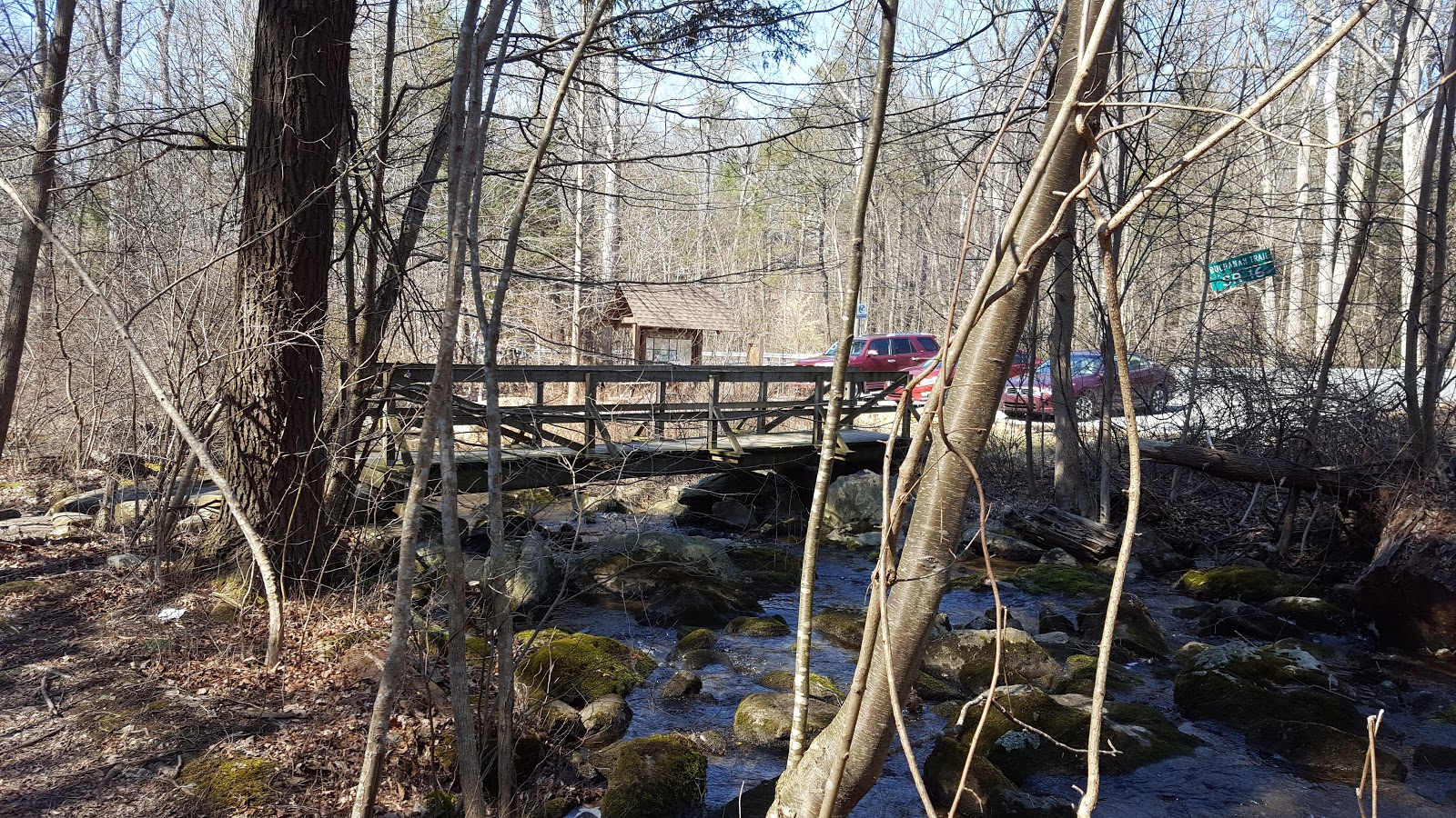
To get to the AT southbound, head back toward the intersection of Gapland Road and Arnoldtown Road. Cross the intersection (and be careful, the cars coming up on Gapland Road from Burkittsville can come up fast) Since the trail access isn't abundantly obvious from the parking lot, I'll include the following map:


While heading toward the trail, stop by the War Correspondents Memorial and the Battle of South Mountain plaques and displays. Then walk up the park road (shown above), bearing to the left.  There will be a sign directing you to the AT, where it re-enters the woods. (I apologize that I failed to photograph the sign, but you'll be able to find your way, I hope.)

The trail gently climbs out of Gathland SP along the western side of the South Mountain ridgeline. At some places along the trail, you can look west to see Elk Ridge, also known as Maryland Heights.

Along the way, you'll come across a pass or fire road, just continue straight along the trail.

Huge rock, with trekking pole for scale:


The trail is very rocky, so be sure to wear sturdy boots.  Aside from that, there are generally no major climbs or descents along the trail - they're all thankfully gradual elevation changes.


About 4 miles into the hike, you'll come across a side trail (on the left hand side, if you're going south) to the Ed Garvey Shelter. The Garvey shelter looked really nice, and has an "upper deck" with plexiglass windows facing both east and west, a good sized fire pit to one side of the shelter with benches on three sides of the pit. and a privy a few dozen yards away. As shelters go, it looked pretty nice. I didn't take a lot of pictures of it because there were a few people packing up their gear at the shelter and at campsites near the shelter. I asked one of them about the spring (shown on the PATC trail map): it's apparently about a half mile downhill from the shelter.

The west side of the shelter is shown here, the lower level of the east side is open to the air.


As you continue south from the Garvey shelter, the trail definitely gets rockier which definitely slowed us down. Eventually you'll notice the general descent towards Weverton Cliff, and the fantastic overlook that you've hiked almost 7 miles to see. Definitely worth it!


Things to know before you go:

  • I'd rate this hike a shade tougher than moderate, if only for the distance and rockiness of the terrain. Wear good boots and use those trekking poles!
  • There are restrooms at Gathland SP, and a privy at the Ed Garvey Shelter area. You'll need to have your own toilet paper on hand if you think you may need to use the privy.
  • Let's talk about snakes: we were alerted to the presence of a group of baby timber rattlesnakes in a burrow at the cliffs. The timber rattlesnakes in Maryland can often be found in the rocky outcroppings along South Mountain and Catoctin Mountain. Be aware that timber rattlers can easily blend in to their surroundings, so if you're doing any kind of rock scrambling, make sure you check where you're putting your hands.
  • There's a water source down the hill from the Garvey shelter, but you will obviously need a filter or some other way to purify the water. You definitely want to bring your own water and snacks to refuel!
  • Dogs are welcome, but please keep them on a leash!

Directions:

To Gathland SP: If you're doing a shuttle hike, follow the directions to the Weverton Cliff parking lot, and leave one car there. Then take the second car, and turn right onto MD-67, going north for about 6 miles. Turn right onto Gapland Road, which will take you up the mountain. When you enter the park, you will see the War Correspondents Memorial in front of you. At the 4-way intersection, take a slight left onto Arnoldtown Road. The entry/exit is at the far end. Here's the Google maps link to Gathland SP.


Happy Hiking!